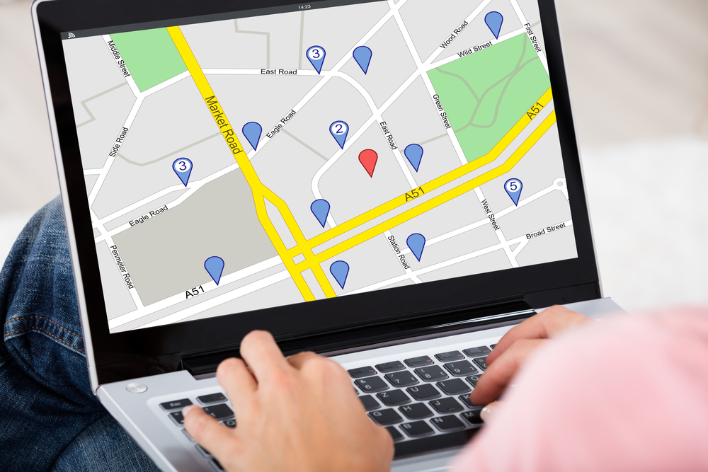
Planning out your routes and stops can be one of the worst parts of a commute or road trip.
Luckily, modern conveniences like smartphone apps, online services, and GPS make road trips much easier to manage than the paper maps of the past. In just a few minutes, you can use your computer or smartphone to plan your trip and include things like fuel stations and hotels and restaurants on the way.
If you’re looking for the best possible online service or app to help you with your trip or commute, check out the features on these five popular options.
Google Maps
The best thing about Google Maps is that it’s very easy to use, whether you’re on your desktop computer at home, in its standalone app on your smartphone, or if you are also using Chrome as your Internet browser on your phone. If you Google a location or a place, you can easily direct the site to bring you to that location through Google Maps.
Google Maps allows you to find nearby restaurants, bars, and points of interest with a simple push of a button. You can even add stops at restaurants, stores, exciting monuments, and gas stations as part of your route. Reviews are only a click away! It also gives you options to find the best walking routes and public transit routes. It doesn’t hurt that the both the web version and the app are free, either.
Like many commuting apps, it does not navigate if you are not online. If you can’t stay online while driving, take a moment to look at the map and memorize the route. There are also no options for people with Windows phones.
Yahoo
Yahoo has a free application and a web interface for drivers to find directions as well. User friendly and convenient, Yahoo Maps gives you zoomable results and a simple platform. The app works particularly well with Apple products.
Yahoo brings you easy access to Yelp reviews, which can be especially useful if you’re not from the area. Yahoo will also save old locations so that you can simply click and get the directions to that previous location. It also offers live traffic estimates.
There is no satellite view with this option.
Mapquest
Mapquest has offered its online trip planning service for longer than smartphones have existed. Today, in addition to the web service that put it on the map, it also has a free Mapquest app that comes with many ambitious features. It has the standard turn by turn voice navigation (although some users have complained the directions go too fast). It also pulls up restaurants and other points of interest. You can even compare gas prices in your area. The app also connects to Uber and Grubhub and other sites to make getting a ride or ordering food easier than ever before.
Mapquest is also adding a nighttime feature to make the maps easier to read when it’s dark out. It also have transit directions in Washington D.C. and Denver. New features that are being tested include speed limits for the roads.
Both the app and the classic web service allow you to compare different options to choose the best route for your trip. You can sort the options by cheapest or fastest. Once you’ve selected your route, you can still choose printed directions.
Bing Maps
The Bing Maps web interface and smartphone app are both free and allow you to look at streets in road view, aerial view, bird’s-eye view, 3D view, and streetside. You can also use venue maps to look inside a place of interest, such as a stadium or museum, or zoo.
You can easily find walking and public transportation options when you look up a location. Bing also makes finding more information (other than directions) easier by allowing quick links to things like Wikipedia pages of places that you search. The dynamic labels feature allow for easier navigation of specific parts of the map.
The app version of the Bing Maps service does seem to be missing some of the features other apps have. It does not have speed limit notifications. It also doesn’t immediately compare gas prices at gas stations near you.
Waze
This free app and online service is great for the person on a road trip who knows what they like. The app remembers your common routes and preferences to help customize your directions to suit you. Even better, Waze uses information from other users to inform you of traffic and accidents. With Waze, you won’t get stuck behind that horrible accident ever again, making it especially useful for commuters. It also allows users to inform others of common areas for police to catch people speeding.
Waze only has driving routes (not public transit or walking routes). It also only works if your phone or computer is connected to the internet. However, unlike Google Maps, the Waze app is available on Windows phones.
Remember that a lot of the information is provided by users. Therefore, things may not be perfectly proofread or entirely accurate. Many people find the voice of the directions on the app rather unpleasant.
Conclusion
You don’t need to get lost to ask for directions. Get them before you leave with one of these apps or online services! Plan out your entire trip and add stops at hotels, restaurants, and gas stations on the way. When the unexpected happens and you do find yourself looking for something to do or somewhere to eat or sleep, these apps and online services are going to be able to help you right away!